![]()
Course Overview:
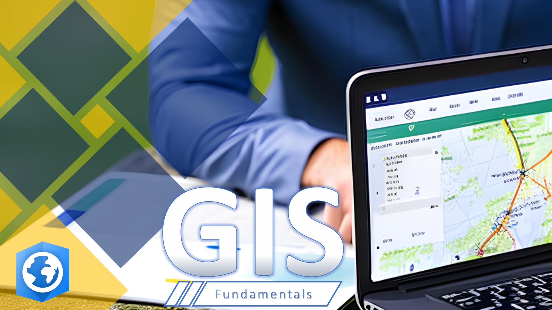
The “GIS Fundamentals with ArcGIS Pro” course is an educational program designed to introduce participants to the foundational concepts of Geographic Information Systems (GIS) and how to utilize them for spatial data analysis. The course focuses on using ArcGIS Pro, one of the leading GIS software applications, enabling participants to develop the necessary skills to create maps and analyze geographic data effectively.
Course Objectives:
- Provide a comprehensive understanding of the fundamental concepts of Geographic Information Systems (GIS).
- Train participants to effectively use ArcGIS Pro software.
- Develop skills in spatial data analysis and the production of professional maps.
- Teach participants how to manage geographic data and prepare it for analysis.
- Apply GIS techniques across various fields such as urban planning and environmental management.
Training Content:
- Introduction to Geographic Information Systems (GIS)
- Definition of GIS and its significance.
- Components of Geographic Information Systems.
- Getting to Know ArcGIS Pro
- The software interface and tools.
- Setting up a new GIS project.
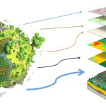
- Inputting Geographic Data
- Types of geographic data (raster, vector, and polygon data).
- Importing data from various sources.
- Spatial Data Analysis
- Basic spatial analysis techniques.
- Creating data layers and using analysis tools.
- Map Production
- Designing maps using ArcGIS Pro.
- Adding legends, symbols, and other map elements.
- Managing Geographic Data
- Organizing geographic data effectively.
- Creating simple geographic databases.
- Case Studies and Practical Applications
- Practical applications to reinforce learned concepts.
- Small projects to enhance practical understanding.
Target Audience:
- Beginners in Geographic Information Systems: Those who have no prior experience and wish to learn the fundamentals.
- Students: In universities and colleges studying geography, environmental science, or urban planning.
- Professionals: In urban planning, environmental science, and resource management seeking to enhance their GIS skills.
- Researchers: Who need to utilize GIS techniques in their research projects.