![]()
Overview:
The UAV Surveying Course is an advanced training program focused
on the use of Unmanned Aerial Vehicles (UAVs) for surveying and
aerial imaging. This course aims to equip participants with the
knowledge and skills necessary for utilizing drones in data collection
and analysis, enhancing the accuracy and efficiency of surveying
projects.
Course Objectives:
1. Provide participants with fundamental knowledge about UAV
technologies and their applications in surveying.
2. Develop practical skills in planning and executing surveying
operations using UAVs.
3. Teach participants how to analyze collected data and use
appropriate software for processing it.
4. Provide a comprehensive understanding of safety standards and
ethical considerations related to UAV usage.
5. Enhance the ability to apply UAV techniques in various fields such
as engineering, agriculture, and urban planning.
Training Content:
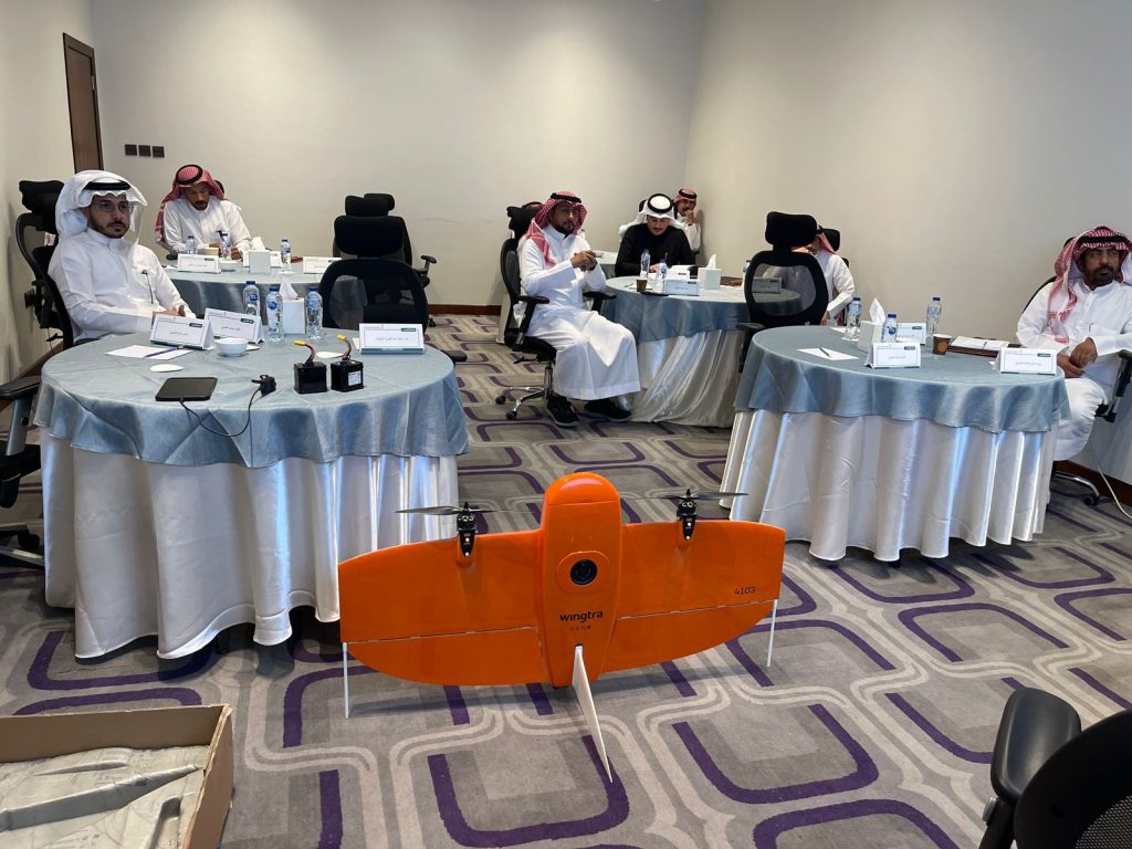
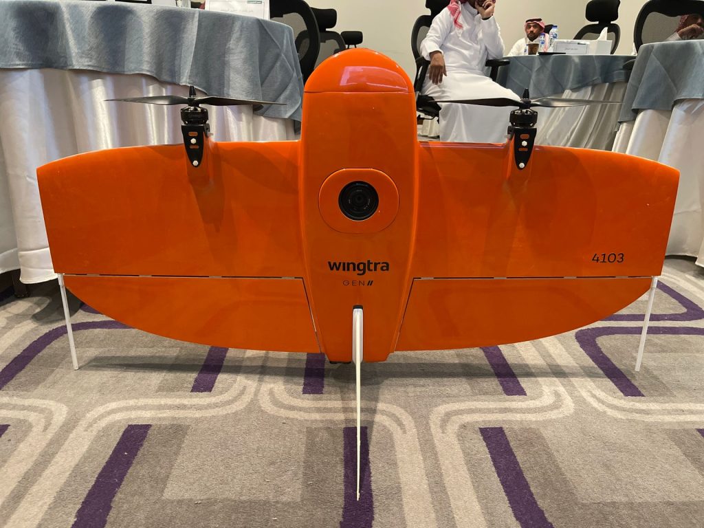
1. Introduction to UAVs:
– Types of drones.
– Components of UAVs and their functions.
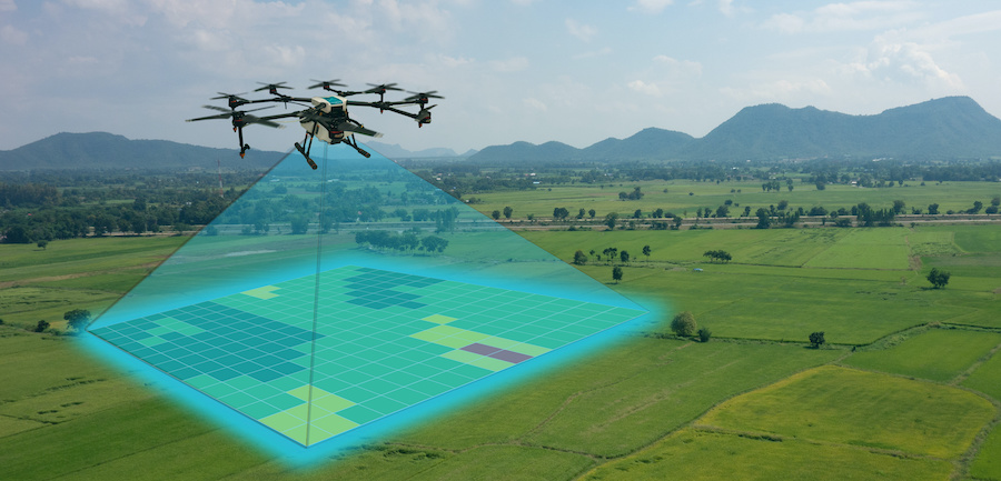
2. Basics of Aerial Surveying
– Principles of surveying.
– Data collection techniques.
3. Flight Planning
– How to define the survey area.
– Preparing the flight plan.
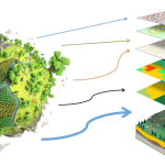
4. Data Collection and Analysis
– Using software for data analysis.
– Image processing and data modeling.
5. Safety Standards and Ethics
– Aviation regulations.
– Safety considerations when using UAVs.
6. Practical Applications
– Hands-on surveying projects.
– Successful case studies.
Target Audience:
– Engineers:In the fields of surveying, civil engineering, and
architecture.
– Surveyors and Geomatics Professionals:Seeking to expand their
skills in UAV technologies.
– University Students:Studying related fields and looking to gain
practical experience.
– Researchers:Interested in the applications of UAVs in scientific
research and studies