About the Course
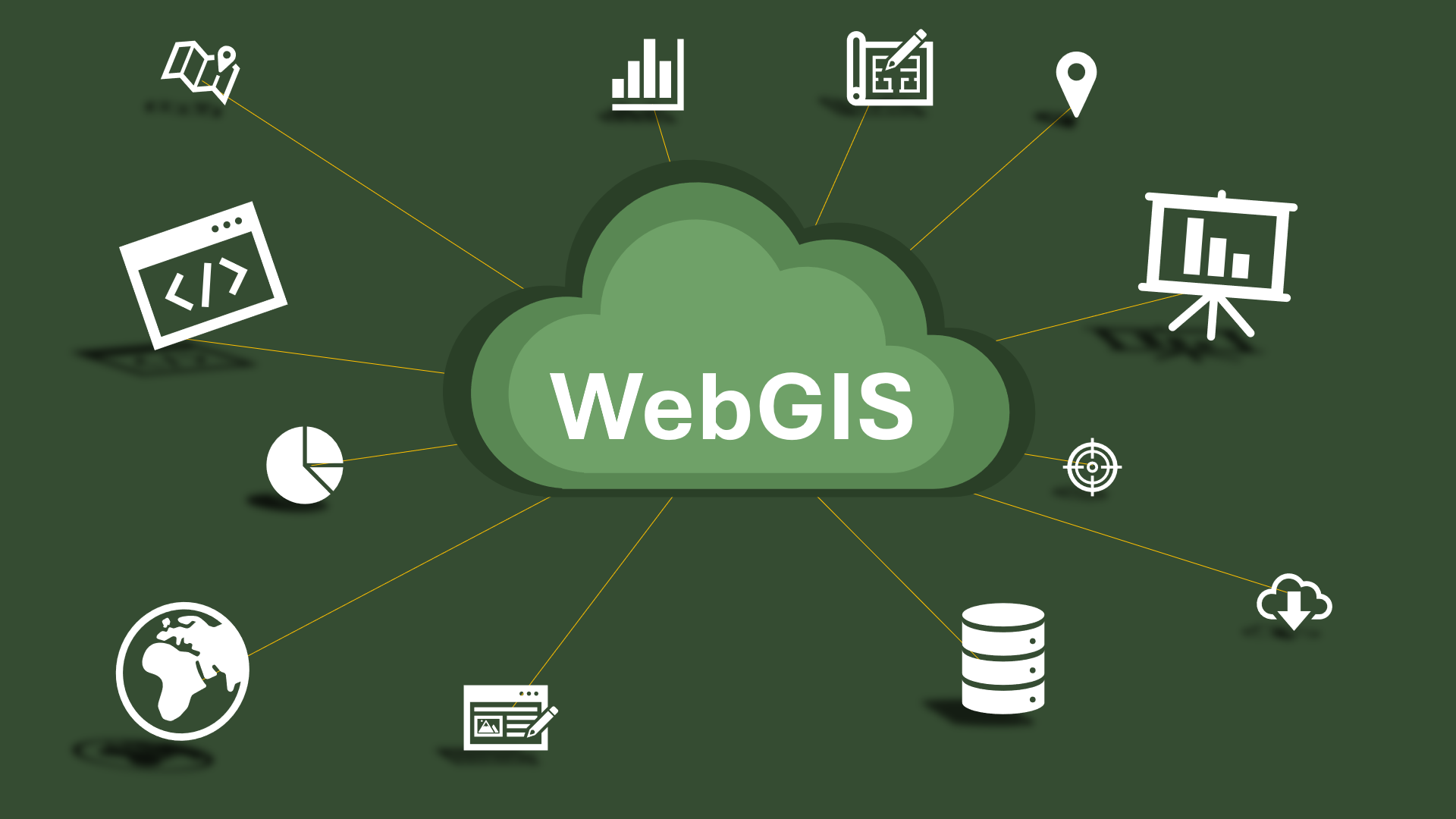
This advanced course in WebGIS equips trainees with the skills to leverage online platforms for geographic data analysis, visualization, and sharing. Participants will learn to use ArcGIS Online and ArcGIS Pro, to create, manage, and share geographic data and maps. The course covers working with WebGIS platforms, advanced data visualization, and analysis techniques.
Learners will create interactive maps and applications such as Dashboards, Story Maps, Mobile Apps, they will also manage spatial data, apply advanced symbology, and use analysis tools to derive insights from geographic data. They will also learn to publish and share maps and data for broader accessibility and collaboration.
By the end of the course, trainees will efficiently manage WebGIS platforms for various GIS applications, produce professional-grade maps, and contribute effectively to their organizations’ GIS projects.
Topics
- WebGIS fundamentals and technologies
- Advanced Data Visualization Techniques
- Creating Interactive Maps and Applications
- Spatial Data Management and Analysis
- Publishing and Sharing Geographic Data
Target Group:
Individuals with a foundational understanding of geographic information systems who are eager to advance their skills in WebGIS. This course is ideal for those who wish to learn about integrating ArcGIS Online and ArcGIS Pro, regardless of prior programming experience.
Prerequisites:
Basic understanding of geographic information systems and familiarity with ArcGIS Pro. No prior programming experience is required, but a willingness to learn new technologies and tools is essential.
Course Outputs:
By the end of the course, participants will be able to:
- Efficiently manage and utilize WebGIS platforms for a wide range of GIS applications.
- Create, manage, and share professional-grade maps and applications.
- Apply advanced data visualization and analysis techniques.
- Develop and publish interactive maps and data for enhanced accessibility and collaboration.
- Integrate ArcGIS Pro with WebGIS tools for comprehensive geographic data analysis and sharing.