Course Overview:
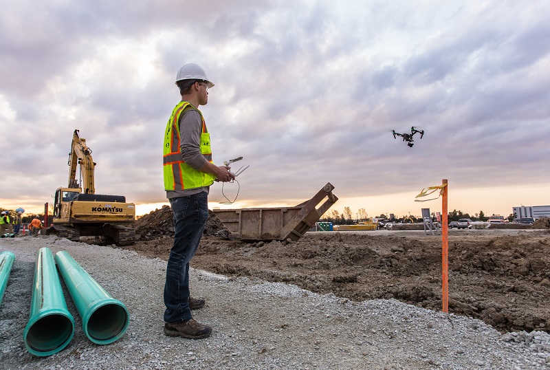
The “Using Drones in Engineering Surveying” course is an advanced training program designed to equip participants with the knowledge and skills necessary to utilize drones for engineering surveying applications. This course will help engineers and technicians effectively use drones to collect accurate data, analyze it, and create maps and plans quickly and efficiently.
Course Objectives:
- Introduce participants to the concept of drones and their applications in engineering surveying.
- Teach participants how to operate drones and use them for data collection.
- Provide participants with the knowledge needed to analyze collected data and apply it to engineering applications.
- Enhance participants’ skills in creating maps and plans using specialized software.
Training Content:
- Introduction to Drones: Overview of different types of drones and how they operate.
- Techniques Used in Surveying: Understanding modern techniques employed in surveying with drones.
- Drone Operation: Setting up the drone, executing flights, and collecting data.
- Data Collection and Analysis: Methods for collecting data using drones and analyzing it with appropriate software.
- Map and Plan Creation: Using collected data to create digital maps and 3D models.
- Laws and Regulations for Drones: Understanding the laws and regulations related to drone use in engineering surveying.
Target Audience:
- Engineers and architects.
- Technicians specialized in engineering surveying.
- Students in geographic engineering or surveying programs.
- Consultants and planners in the construction field.
- Anyone interested in the applications of drones in surveying and engineering analysis.
The course aims to empower participants to effectively use drones to enhance the quality and efficiency of engineering surveying work, facilitating informed decision-making and improving project efficiency.


